Day: 9
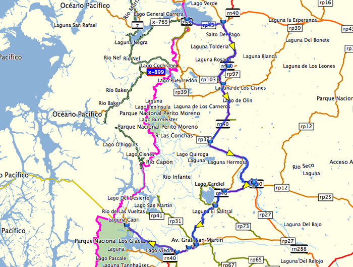
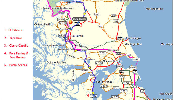
Trajectory: El Calafate – Tapi Aike – Punta Arenas – Puerto Hambre – Punta Arenas
Distance covered: 624 km
Kilometres covered in day 9
Day 9 was a day in which we drastically changed our plans, revising both route and destination in an attempt to make best use of the time left to us before Tiso had to fly back from Ushuaia. The weather also had a great deal to do with plans and execution.
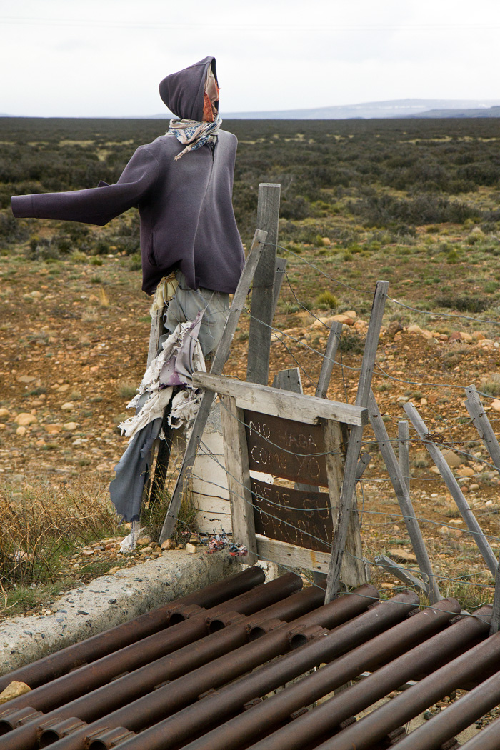
Scarecrow figure by the side of the road as we leave Calafate. The text says “Don’t do as I did: leave a tip”
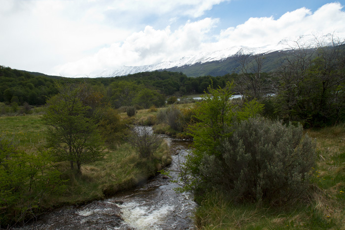
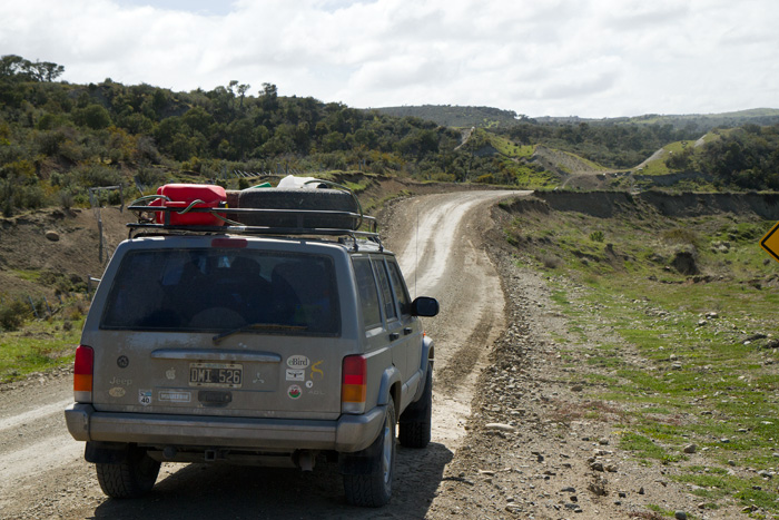
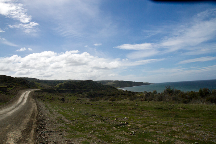
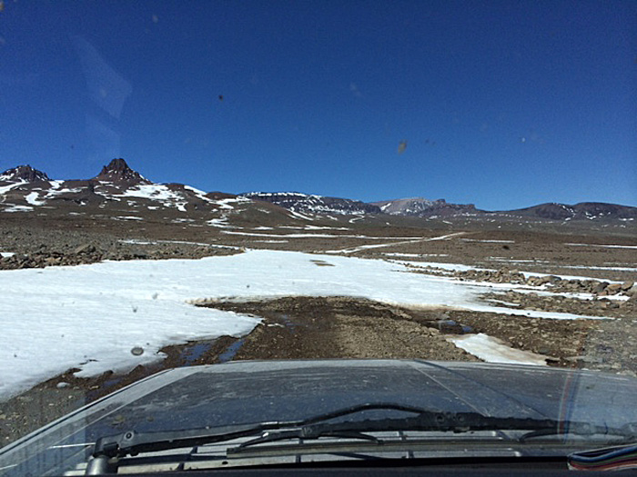
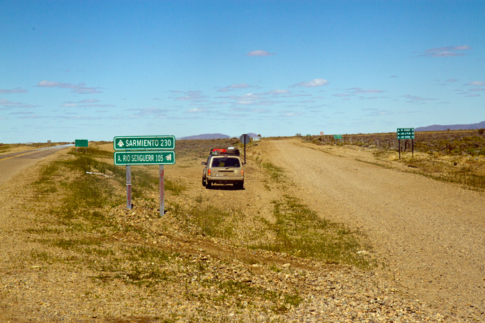
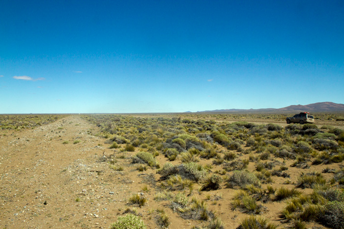
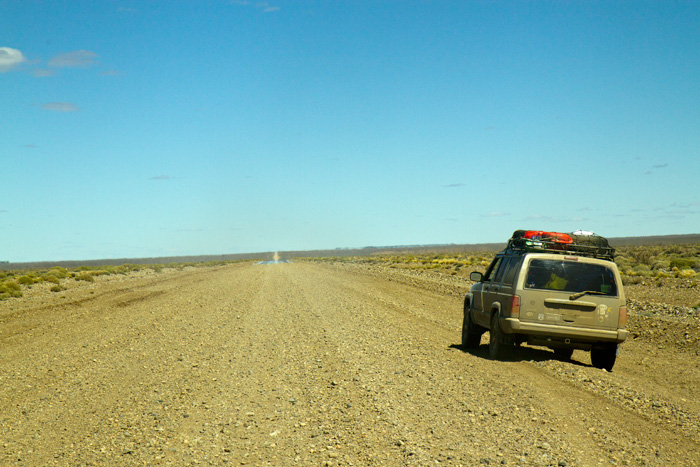
We got away from El Calafate in good time and drove down towards Cerro Castillo (in Chile) from which we intended to visit the Paine National Park. It was to be another day with much gravel surface.
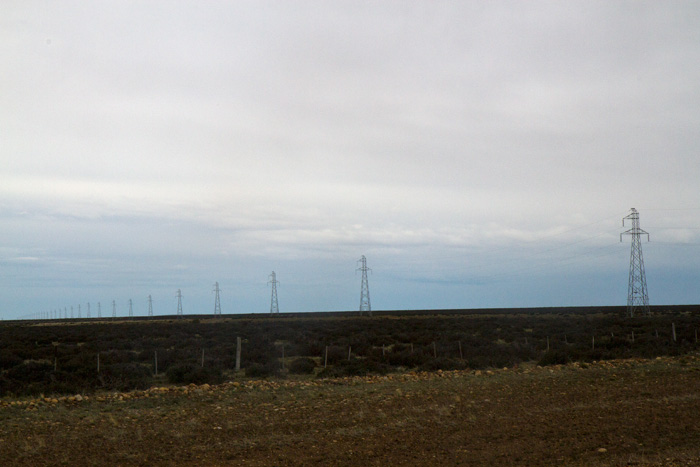
Pylons stretch across the plain to the distant horizon
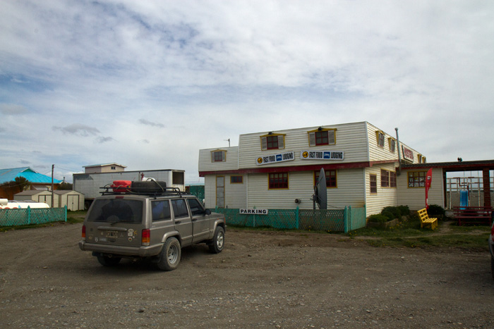
We drove across long flat plains, taking a short cut down the R70 and rejoining the RN40 at the remote, windswept outpost of Tapi Aike, where we fuelled and I unfortunately asked for a coffee. The coffee took forever, as the woman at the stop had to individually locate cup, water, the means to heat it, coffee and milk. It was undrinkable, but after all that I felt I had to get it down.
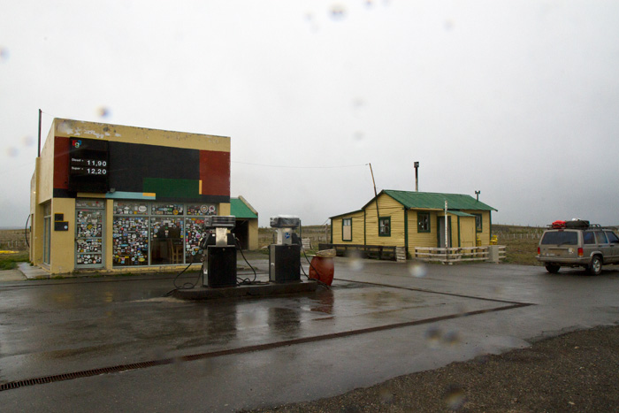
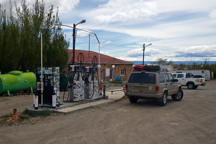
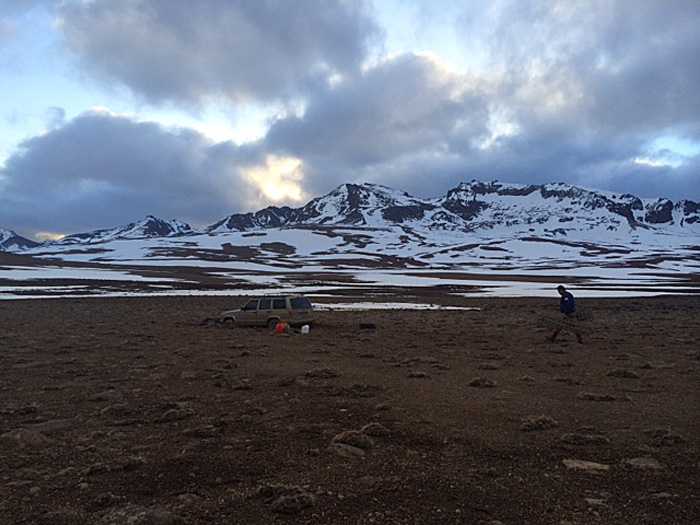
Fuel stop at remote, cold, wet and extremely windy Tapi Aike
The couple who run this gas station live in the middle of nowhere, and it really is a cold, wet, windy and god-forsaken place. All they have is the filling station and their leaky tin house. The previous incumbents left suddenly and the current residents have only been there two months – I doubt they will stay much longer. Little traffic goes by, but it is an essential stop as it is the only filling station for hundreds of kilometres.
Entering Chile at Cerro Castillo
From Tapi Aike we reached the Chilean border at Cerro Castillo without problems and had a decent cup of coffee and a bite to eat. Cerro Castillo was a small but not unattractive town which took us all of five minutes to explore.
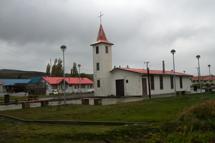
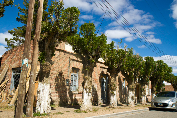
Church and street view – Cerro Castillo
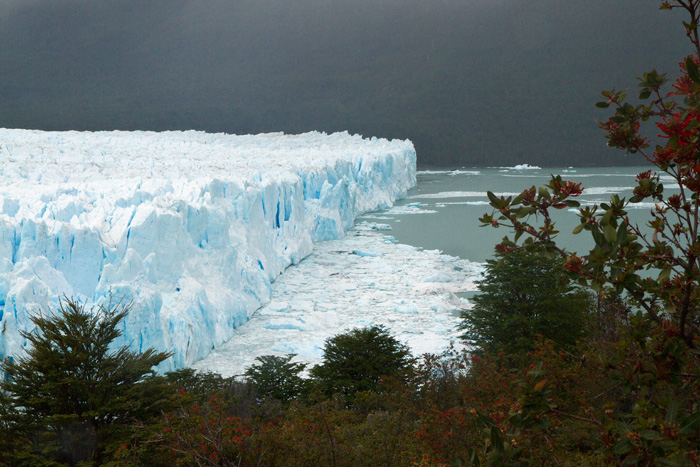
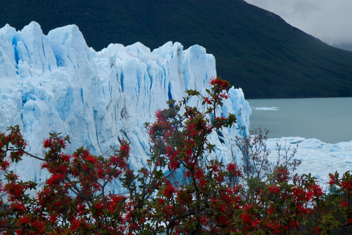
We had come to Cerro Castillo to visit the Paine national park, with its spectacular peaks and scenery. But visibility was appalling and to drive 80 kms there and the same back to look at dark clouds and sky seemed pointless so we cut our losses and set ourselves to study the map.
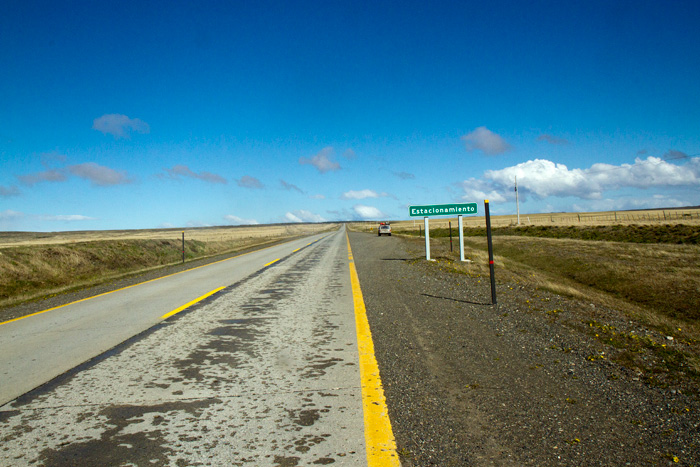
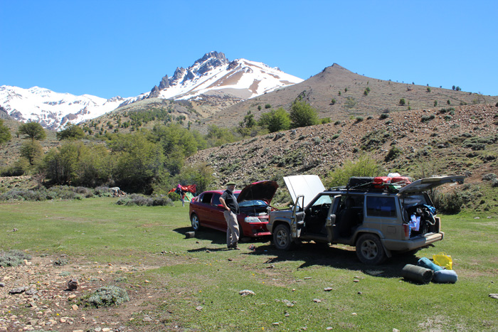
Driving south through Chile – with their typical efficiency they had regular lay-bys where travellers could stop and brew mate ….
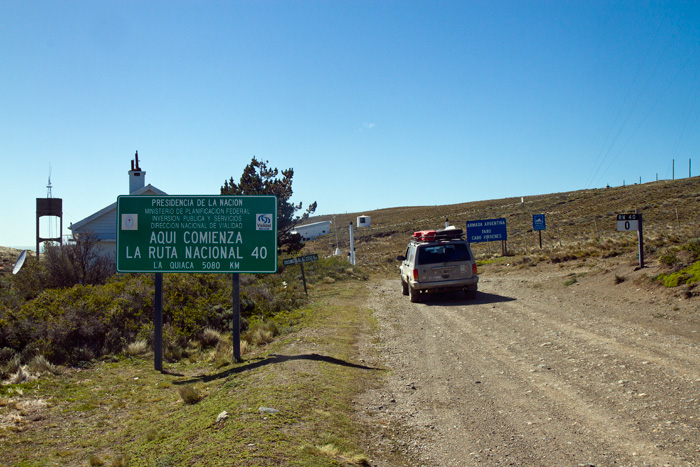
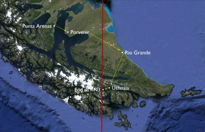
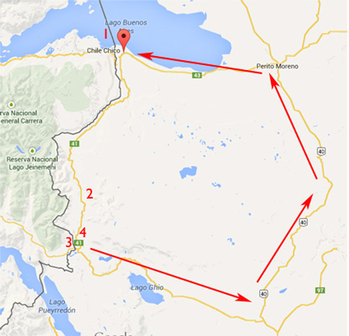
We decided to drive south through Chile to Punta Arenas and further south, and then to cross to Tierra del Fuego by ferry through the Chilean town of Porvenir. From here we could drive down to Ushuaia where Tiso had to catch his plane back to San Martín de los Andes. This fit our plans best, allowing Tiso to see some of what he wanted while ensuring he would be at the airport with time to spare. I would fill in the missing RN40 bits later by myself, most importantly the final bit from Rio Gallegos down to Cabo Virgenes, where the 0 km marker awaited a photo of Silver and I.
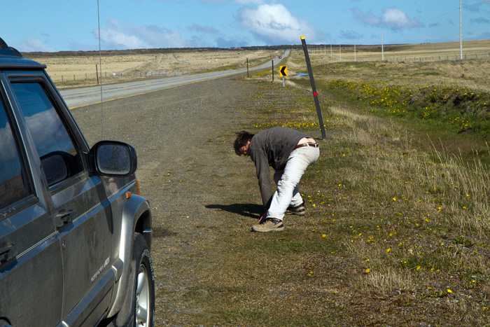
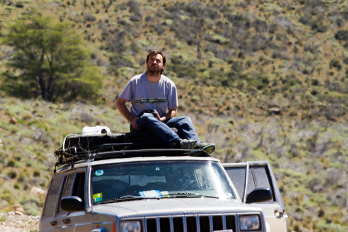
… or in the case of Tiso stretch legs tired from so much walking and driving
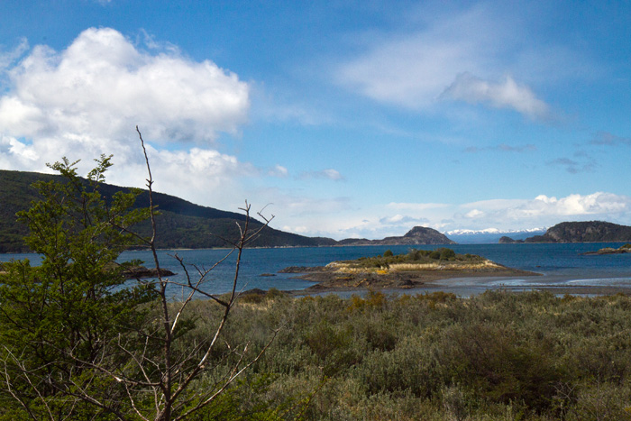
Initially we drove right by Punto Arenas in order to visit Port Famine (Sp. Puerto de Hambre), the geographical centre of Chile. That surprised me, but it is the midway point between the South Pole (which Chile claims) and its northern border with Peru. Just short of Port Famine we saw the grave of Pringle Stokes, who commanded HMS Beagle on its first voyage of exploration in the south Atlantic. The harsh winter conditions of the Strait of Magellan were too much for him and he committed suicide; the commander of the second voyage of the Beagle was Fitzroy.
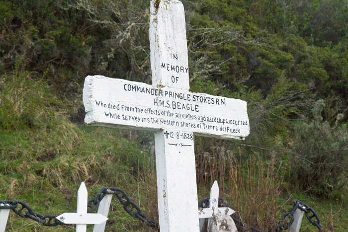
Grave of Pringle Stokes, commander of HMS Beagle’s first voyage, who committed suicide there in a fit of depression
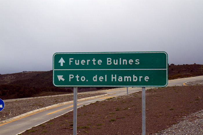
We drove on as far as the turn for Port Famine and Fort Bulnes, some 62 kms south of Punta Arenas.
This was about as far south as we got by road ….
Sadly both of these have become major tourist sites which means opening hours have been imposed. We arrived at Fort Bulnes, a fort erected in 1843 to strengthen and enforce Chile’s claim to this stretch of the Magellanic Channel, just as it was closing and were only able to see the entrance:
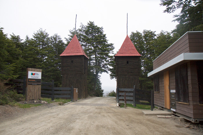
Entrance to Fuerte Bulnes – we were just too late to enter
If we had been able to enter we would have seen the reconstructed fort which looks like this:
The reconstructed fort – photo from wikipedia commons
Just south of here is Cape Froward, the southernmost point of continental South America. We didn’t attempt to go there.
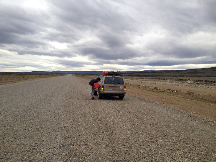
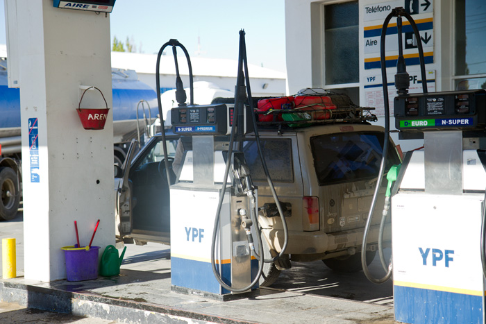
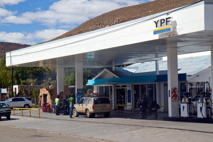
![Filling with petrol at the [closed] gates of Puerto Hambre](https://www.eayrs.com/blog/wp-content/uploads/2014/11/MG_6452-fuel-at-Puerto-hambre.jpg)
Filling with petrol at the [closed] gates of Puerto Hambre
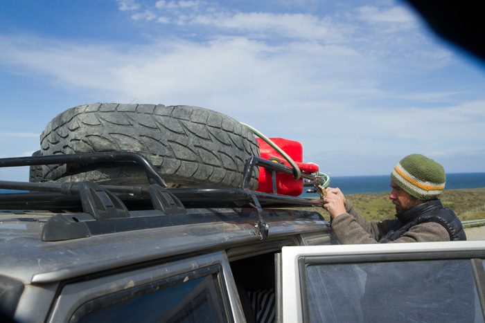
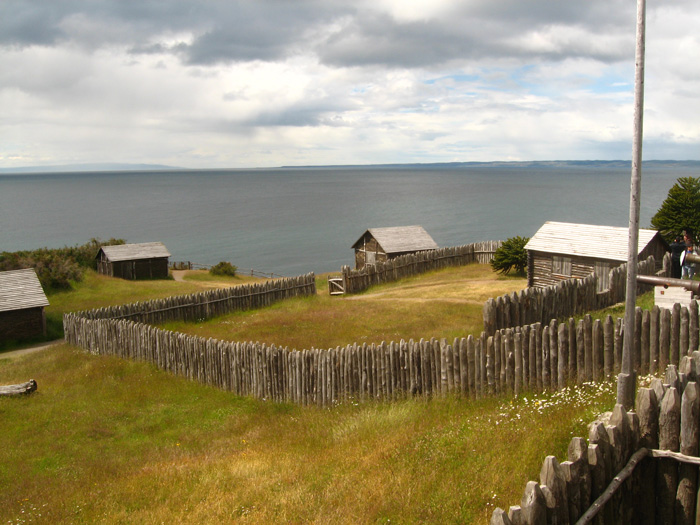
From Fort Bulnes we drove the couple of kilometres to Port Famine, originally founded by Sarmiento de Gamboa in 1584 and renamed by Thomas Cavendish, who landed there in 1587. We were too late for entry there too, but took advantage to use one of our jerry cans as petrol is very expensive in Chile.
Monument at Port Famine – photo from http://www.pbase.com
What we missed was a monument to the early settlers and a few signs of their miserable existence, but we were rather more concerned with our own miserable existence as we nearly froze to death with all the metallic contact involved in getting the petrol off the roof and into the car in the bitter cold wind.
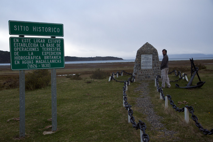
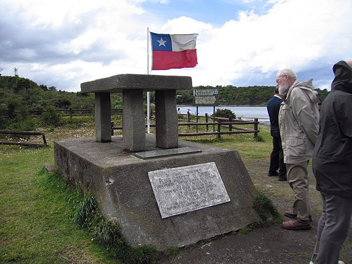
Monument to Philip Parker King, commander of HMS Adventure which accompanied HMS Beagle, and spent five years surveying the complex coasts around the Strait of Magellan
We did see a couple of small graveyards with white wooden crosses surrounded by white picket fences, the resting places of settlers over the ages. Also a monument to famous hydrographer Philip Parker King, who surveyed so much of the coastal waters of Australia and Patagonia.
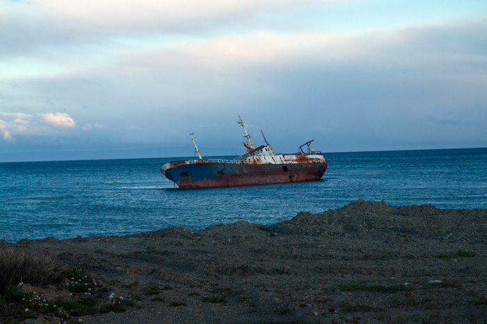
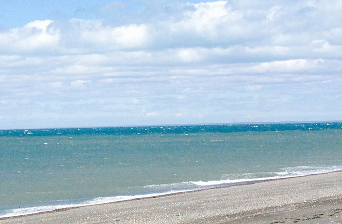
One of many wrecked vessels we saw on the coast up to Punta Arenas
So we drove back up to Punta Arenas, passing a number of semi-sunken and abandoned ships on or close by the shoreline as we looked for somewhere to eat and sleep.